Case Studies

The MetEOC series of projects focussed on metrological support for climate observations. Such observations are used in integrated assessment models to help inform policymakers. It is therefore important that observation communities understand how metrology principles might be successfully brought into the policy domain.

These case studies show examples of outcomes of the application of metrology in this regard, including for improving the quality of climate data records and links between observational uncertainties and climate data records (using information from this and related projects).
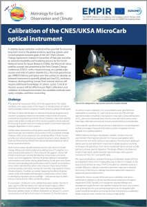
 

Calibration of the CNES/UKSA MicroCarb GHG monitoring satellite sensor
Calibrating the MicroCarb optical instrument
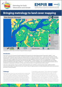
Land cover maps provide a means to monitor and manage land cover conditions, and parametrise climate models and other environmental models. The quality of land cover maps is a topic of ongoing research, as widely adopted quality assessment practices are known to have limitations.
Visualising sources of uncertainty in land cover maps
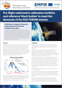
Satellite observations of infrared radiation emitted from Earth to space could be used to measure changes in the planet’s energy balance, and so reduce the uncertainties associated with climate predictions. However, current missions are not capable of detecting the full spectrum of infrared radiation of interest, limiting opportunities for improved understanding of the contributions of, for example, carbon dioxide and water vapour. Forthcoming missions such as ESA’s FORUM promise to fill this observation gap but require improved pre-flight radiometric calibration facilities and reference ‘black bodies’ with unprecedented low measurement uncertainties.
Calibrations to support full spectral measurements of far infrared irradiation from space
Pioneering application of metrologically-rigorous approaches to satellite altimetry
Metrological approach to hydrological measurements – establishing collaborations in satellite radar altimetry